Dead Man's Flats, Alberta
Creative production in Dead Man's Flats.
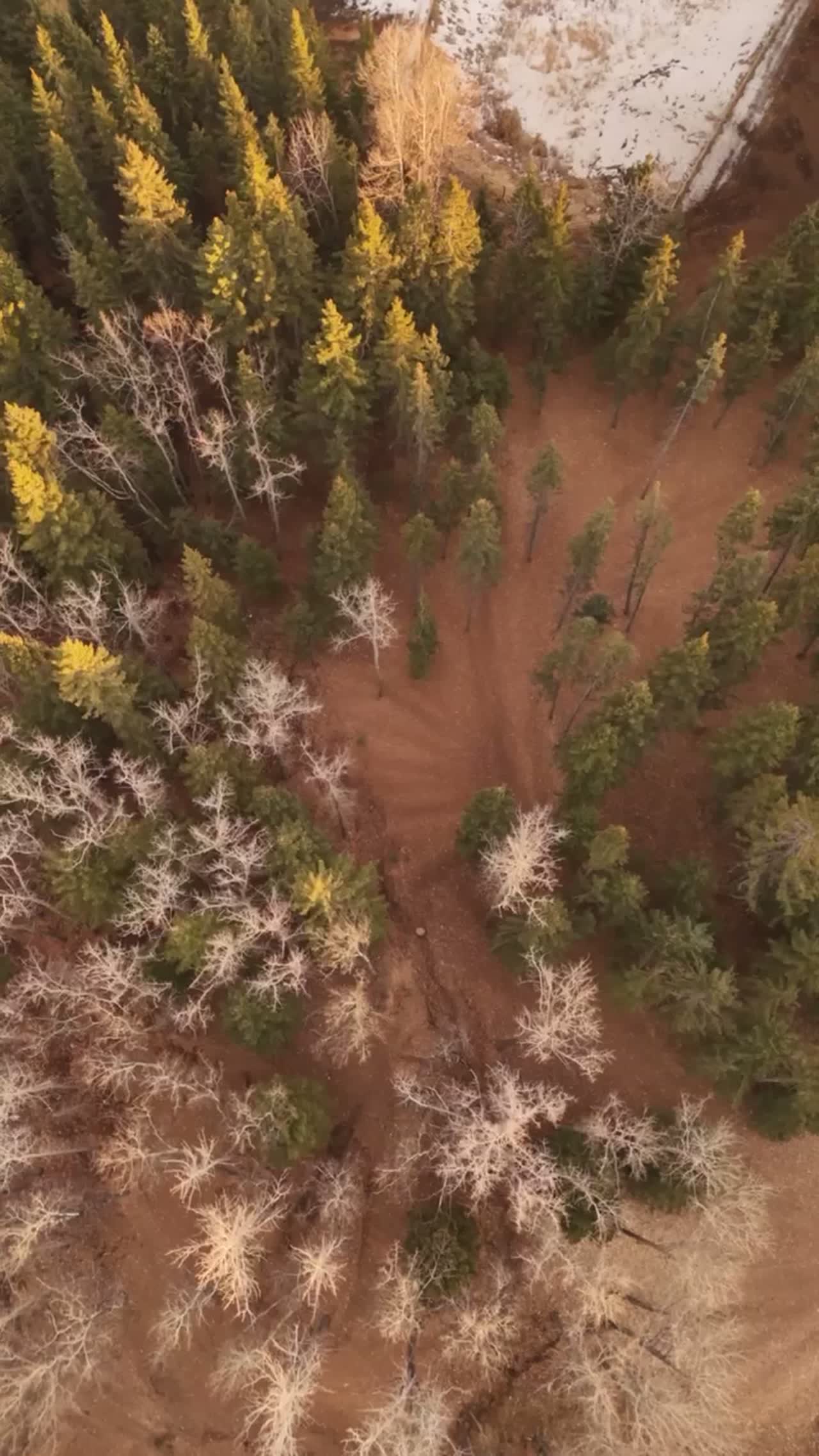
Film, photography and aerial cinematography for the homes, businesses and places that define Dead Man's Flats. A narrow valley bench between the Bow River and the front-range wall, with Pigeon Mountain rising immediately south.
Does Atom2Adam work in Dead Man's Flats?
Yes. Atom2Adam makes film, photography and aerial cinematography in Dead Man's Flats, Alberta — for homes, businesses and brands. For aerial work the airspace is Class G uncontrolled. No airspace authorisation is normally required. Typical mobilisation from the Calgary studio is 1.2 hours.
Dead Man's Flats at a glance
| Studio | Calgary, Alberta |
|---|---|
| Drive from the studio | 1.2 hours |
| Airspace | Class G uncontrolled |
| Nearest aerodrome | Canmore municipal heliport |
| Aerial authorisation | Not normally required |
| Aerial status | Standard RPAS rules apply |
| Certification | Transport Canada RPAS — Advanced Operations |
| Response | We reply within one business day |
| Airspace record derived | 2026-08-31 |
Working in Dead Man's Flats.
Dead Man's Flats is the last uncontrolled, unrestricted valley floor before the Canmore heliport circuit and the national park boundary begin to close options westward. For a client who wants Bow Valley mountain scale without a permit conversation, this is where the legal ground actually runs out.
It is the default alternative offered when a shot list asks for park scenery that cannot legally be flown.
Light. Early light is blocked by the south wall. Late afternoon gives the best separation between the valley floor and the ranges.
Terrain. A narrow valley bench between the Bow River and the front-range wall, with Pigeon Mountain rising immediately south.
Wind. Strong valley funnelling, with wind accelerating as the corridor narrows toward Canmore.
Airspace. Uncontrolled Class G airspace just east of Canmore. The Canmore heliport circuit and the park boundary further west are both plotted before flight. This is a corridor-level assessment; the specific address is confirmed against NAV Drone (opens in a new tab) before every flight.
On the ground. M.D. of Bighorn land-use rules apply; the Banff National Park prohibition begins west of Canmore. About 70 minutes from the Calgary base, immediately off the Trans-Canada.
What we make for Dead Man's Flats.
Every subject is approached the same way — creative direction, film, photography, aerial and post-production, scoped and quoted before anything is booked.
Dead Man's Flats and what surrounds it.
- Film and photography in Canmore8 km · Class G uncontrolled, adjacent to Banff National Park
- Film and photography in Lac des Arcs9 km · Class G uncontrolled
- Film and photography in Exshaw6 km · Class G uncontrolled
- Film and photography in Harvie Heights12 km · Class G uncontrolled, immediately adjacent to Banff National Park
- Film and photography in Kananaskis Village16 km · Provincial park land — Alberta Parks restrictions
How a Dead Man's Flats shoot runs.
- 01Brief and scope. Dead Man's Flats lends itself to hospitality and tourism and resorts and mountain property; the shot list follows the subject. Mobilisation is stated separately from the fee.
- 02Airspace, where the brief includes aerial work. Checked against NAV Drone from the address, not the postcode. Dead Man's Flats is class g uncontrolled, so authorisation is not normally required — but Canmore municipal heliport is 9 km away and its circuit is plotted regardless.
- 03Light and weather. Strong valley funnelling, with wind accelerating as the corridor narrows toward Canmore. Early light is blocked by the south wall. Late afternoon gives the best separation between the valley floor and the ranges.
- 04Shoot day. About 70 minutes from the Calgary studio. Launch from the subject property with the owner's permission; m.D. of Bighorn land-use rules apply; the Banff National Park prohibition begins west of Canmore.
- 05Post-production and delivery. Edited, graded and finished for every format it will live in, delivered digitally — which is how owners of Dead Man's Flats property who live elsewhere can be served.
Dead Man's Flats questions, answered.
Can you fly a drone at Dead Man's Flats?
Yes. It sits in uncontrolled Class G airspace east of Canmore and outside the national park, so no authorisation is normally required. The Canmore heliport circuit to the west is plotted on the flight plan.
Why is Dead Man's Flats offered as an alternative to park locations?
Because it is the closest legal ground with genuine Bow Valley mountain scale. When a shot list asks for scenery inside Banff National Park that cannot lawfully be flown, this is the honest substitute rather than a quiet omission.
Dead Man's Flats is 8 km from Canmore.
Every quote starts at the Calgary studio, which is why identical subjects in Dead Man's Flats and Canmore — 8 km apart — price differently.
Nearby
Airspace record derived from the published airspace geometry on . Rules change — the exact site is confirmed against NAV Drone before every flight.