Conrich, Alberta
Creative production in Conrich.
Film, photography and aerial cinematography for the homes, businesses and places that define Conrich. Flat industrial land east of the city, with large parcels, rail infrastructure and minimal natural relief.
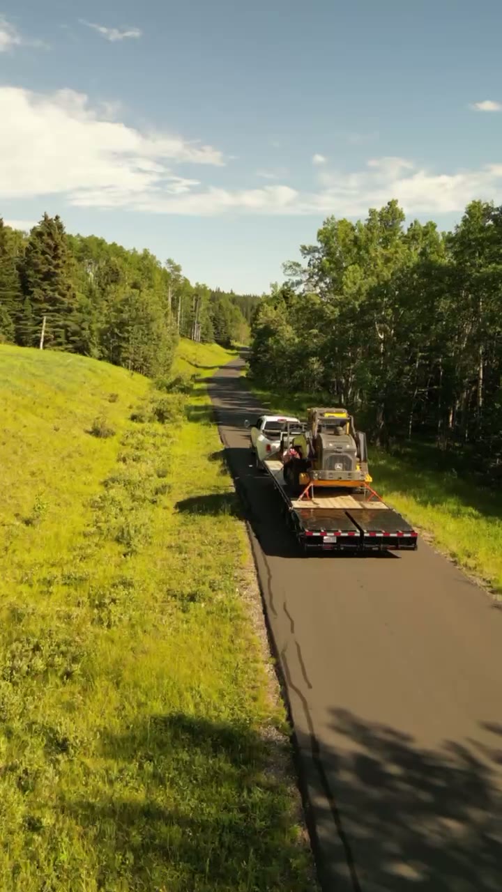
Does Atom2Adam work in Conrich?
Yes. Atom2Adam makes film, photography and aerial cinematography in Conrich, Alberta — for homes, businesses and brands. For aerial work the airspace is CYYC control zone vicinity. Aerial work here flies under an Advanced RPAS certificate, and the airspace authorisation is filed before any shoot date is confirmed. From the Calgary studio, mobilisation is typically 25 minutes.
Conrich at a glance
| Studio | Calgary, Alberta |
|---|---|
| Drive from the studio | 25 minutes |
| Airspace | CYYC control zone vicinity |
| Nearest aerodrome | Calgary International Airport (CYYC) |
| Aerial authorisation | Yes — filed before the date is confirmed |
| Aerial status | Flown under airspace authorisation |
| Certification | Transport Canada RPAS — Advanced Operations |
| Response | We reply within one business day |
| Airspace record derived | 2026-08-31 |
Working in Conrich.
Conrich has become one of the region's densest concentrations of industrial and logistics land, immediately east of the airport. Yard utilisation, trailer counts and laydown organisation are operational questions that a ground photograph cannot answer at all.
A repeatable overhead pass turns a yard into a measurable asset — the same frame, the same altitude, on a schedule.
Light. Year-round subject. Winter snow cover actually improves contrast between paved yard, stock and structure.
Terrain. Flat industrial land east of the city, with large parcels, rail infrastructure and minimal natural relief.
Wind. Exposed prairie with strong, steady flow and little shelter between yards.
Airspace. Conrich sits close to the eastern edge of the Calgary International control zone. Authorisation status is confirmed per site, and much of the area requires it. This is a corridor-level assessment; the specific address is confirmed against NAV Drone (opens in a new tab) before every flight.
On the ground. Rocky View County industrial land-use rules apply; site launch requires the operator's permission. About 25 minutes east of the Calgary base, subject to the control-zone authorisation being in hand.
What we make for Conrich.
Every subject is approached the same way — creative direction, film, photography, aerial and post-production, scoped and quoted before anything is booked.
Conrich and what surrounds it.
- Film and photography in Chestermere6 km · CYYC control zone outer edge
- Film and photography in Langdon18 km · Class G uncontrolled
- Film and photography in Calgary16 km · Class C control zone (CYYC)
- Film and photography in Indus17 km · Class G uncontrolled, local aerodrome nearby
- Film and photography in Airdrie25 km · Mixed — control zone edge and local aerodrome
How a Conrich shoot runs.
- 01Brief and scope. Conrich lends itself to operations and brand films and construction and development; the shot list follows the subject. Mobilisation is stated separately from the fee.
- 02Airspace, where the brief includes aerial work. Conrich sits under Calgary International Airport (CYYC), 14 km away. Authorisation is filed with NAV CANADA and the date is confirmed once it is in hand.
- 03Light and weather. Exposed prairie with strong, steady flow and little shelter between yards. Year-round subject. Winter snow cover actually improves contrast between paved yard, stock and structure.
- 04Shoot day. About 25 minutes from the Calgary studio. Launch from the subject property with the owner's permission; rocky View County industrial land-use rules apply; site launch requires the operator's permission.
- 05Post-production and delivery. Edited, graded and finished for every format it will live in, delivered digitally — which is how owners of Conrich property who live elsewhere can be served.
Conrich questions, answered.
Do you need authorisation to fly a drone in Conrich?
In most of the area, yes. Conrich sits close to the eastern edge of the Calgary International control zone. Flights are conducted under an Advanced RPAS certificate with authorisation filed before the shoot is confirmed.
What does aerial documentation give an industrial yard operator?
Measurable state. Repeat passes flown from identical coordinates and altitude show yard utilisation, stock position and laydown organisation over time — questions that cannot be answered from a ground photograph at all.
Conrich is 6 km from Chestermere.
Mobilisation is quoted from the Calgary studio, so a shoot in Conrich and one 6 km away in Chestermere are priced differently even when the subject is identical.
Nearby
Airspace record derived from the published airspace geometry on . Rules change — the exact site is confirmed against NAV Drone before every flight.