Lions Park, Alberta
Creative production in Lions Park.
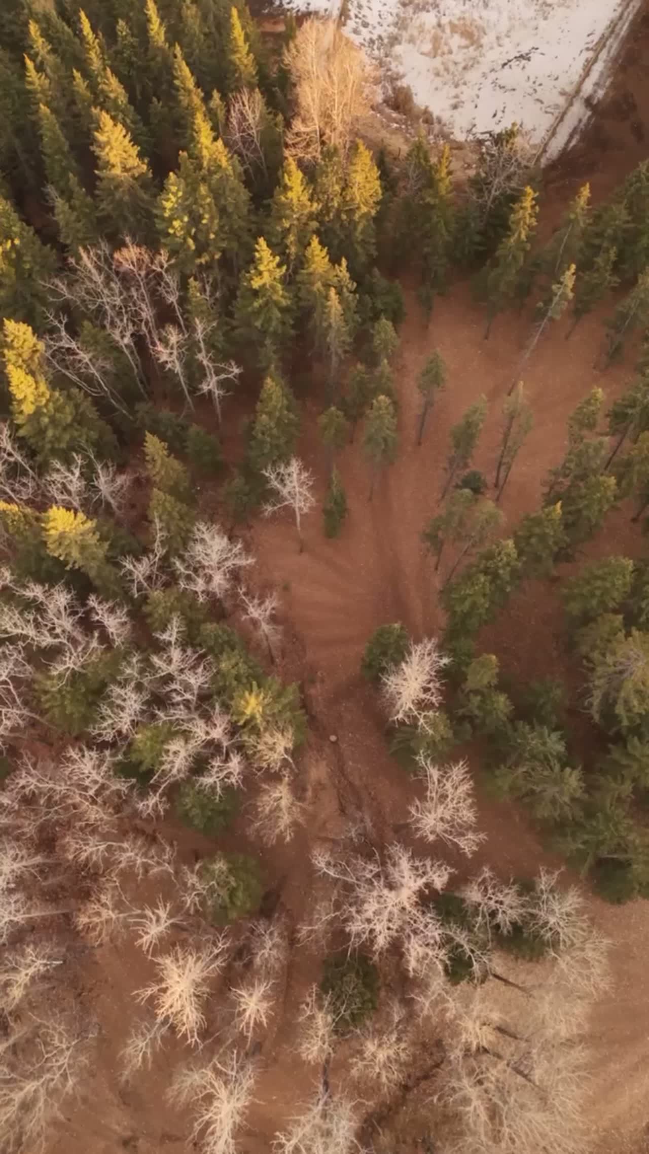
Film, photography and aerial cinematography for the homes, businesses and places that define Lions Park. Flat valley-floor townsite blocks between the Bow River and Canmore Main Street, hemmed in by peaks that rise steeply above the streets on both sides of the valley.
Does Atom2Adam work in Lions Park?
Yes. Atom2Adam makes film, photography and aerial cinematography in Lions Park, Alberta — for homes, businesses and brands. For aerial work the airspace is Class G uncontrolled, local aerodrome nearby. No airspace authorisation is normally required. From the Calgary studio, mobilisation is typically 1.3 hours.
Lions Park at a glance
| Studio | Calgary, Alberta |
|---|---|
| Drive from the studio | 1.3 hours |
| Airspace | Class G uncontrolled, local aerodrome nearby |
| Nearest aerodrome | Canmore municipal heliport |
| Aerial authorisation | Not normally required |
| Aerial status | Standard RPAS rules apply |
| Certification | Transport Canada RPAS — Advanced Operations |
| Response | We reply within one business day |
| Airspace record derived | 2026-09-01 |
Working in Lions Park.
Along the Bow River pathway in Lions Park, autumn runs on two clocks — the valley floor stays green for weeks after the ranges above it take their first snow, so a single aerial frame here can hold both seasons at once. A listing shot on the wrong week misses that split entirely; from the ground nobody can see when the snowline is doing the work, and the client pays for a flat grey shoulder-season image instead.
Shoots here are timed to the snowline and the light rather than the calendar — a golden-hour hold over the neighbourhood with fresh white on the ranges, delivered on the turnaround agreed at booking.
Light. Snow reaches the peaks weeks before it reaches the streets and leaves the streets weeks before it leaves the slopes, so the shoulder seasons offer two-season frames. Midsummer brings the longest usable evenings.
Terrain. Flat valley-floor townsite blocks between the Bow River and Canmore Main Street, hemmed in by peaks that rise steeply above the streets on both sides of the valley.
Wind. Chinook-belt air pushed through a mountain funnel: the valley channels west wind along its axis, and gusts over the townsite regularly beat the regional forecast.
Airspace. Lions Park lies outside the charted Calgary-area control zones in uncontrolled Class G airspace, about 2 km from Canmore municipal heliport. No airspace authorisation is normally required. Local circuit traffic at Canmore municipal heliport is close enough that flights are planned with the aerodrome's procedures in mind. Every flight is preceded by a NAV Drone check of the specific site and altitude.
On the ground. Takeoff and landing inside municipal parks — Lions Park included — falls under Town of Canmore rules, so launches stage from private property with the owner's consent. About 80 minutes from the Calgary base. Booked as a day trip, and usually paired with South Canmore or Teepee Town so one drive covers two shoots in the same light.
What we make for Lions Park.
Every subject is approached the same way — creative direction, film, photography, aerial and post-production, scoped and quoted before anything is booked.
Lions Park and what surrounds it.
- Film and photography in South Canmore1 km · Class G uncontrolled, local aerodrome nearby
- Film and photography in Teepee Town1 km · Class G uncontrolled, local aerodrome nearby
- Film and photography in Homesteads3 km · Class G uncontrolled, local aerodrome nearby
- Film and photography in Canmore1 km · Class G uncontrolled, adjacent to Banff National Park
- Film and photography in CottageClub at Ghost Lake46 km · Class G uncontrolled
How a Lions Park shoot runs.
- 01Brief and scope. Lions Park lends itself to luxury homes and hospitality and tourism; the shot list follows the subject. Mobilisation is stated separately from the fee.
- 02Airspace, where the brief includes aerial work. Checked against NAV Drone from the address, not the postcode. Lions Park is class g uncontrolled, local aerodrome nearby, so authorisation is not normally required — but Canmore municipal heliport is 2 km away and its circuit is plotted regardless.
- 03Light and weather. Chinook-belt air pushed through a mountain funnel: the valley channels west wind along its axis, and gusts over the townsite regularly beat the regional forecast. Snow reaches the peaks weeks before it reaches the streets and leaves the streets weeks before it leaves the slopes, so the shoulder seasons offer two-season frames. Midsummer brings the longest usable evenings.
- 04Shoot day. About 80 minutes from the Calgary studio. Launch from the subject property with the owner's permission; takeoff and landing inside municipal parks — Lions Park included — falls under Town of Canmore rules, so launches stage from private property with the owner's consent.
- 05Post-production and delivery. Edited, graded and finished for every format it will live in, delivered digitally — which is how owners of Lions Park property who live elsewhere can be served.
Lions Park questions, answered.
Is it legal to fly a drone over the Lions Park area of Canmore?
Yes. Lions Park sits in uncontrolled Class G airspace and no authorisation is normally required. The Canmore municipal heliport is about 2 kilometres away, so flight plans respect its circuit traffic, and takeoff inside the municipal park itself is avoided — launches stage from private property, with the site confirmed on NAV Drone first.
When is the best season for an aerial shoot in Lions Park?
The shoulder seasons earn their keep here. Snow sits on the ranges weeks before and after it touches the valley floor, so autumn and late-spring frames pair green ground along the Bow River pathway with white peaks. Midsummer offers the longest evenings; the light call is made from the snowline, not the calendar.
Lions Park is 1 km from South Canmore.
Because mobilisation is quoted from the Calgary studio, Lions Park and South Canmore, 1 km away, carry different quotes for an identical subject.
Nearby
Airspace record derived from the published airspace geometry on . Rules change — the exact site is confirmed against NAV Drone before every flight.