Teepee Town, Alberta
Creative production in Teepee Town.
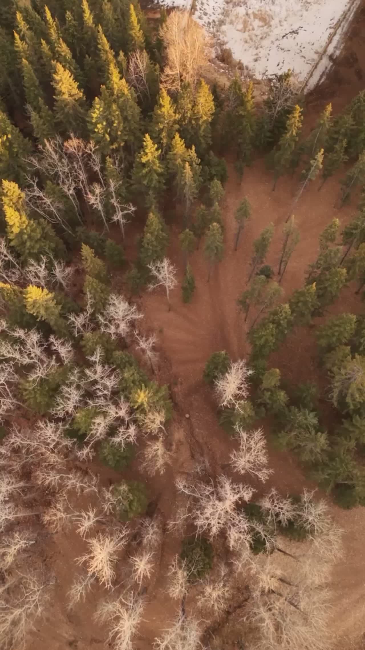
Film, photography and aerial cinematography for the homes, businesses and places that define Teepee Town. A compact valley-floor grid pressed between the Bow Valley Trail commercial strip and the older townsite, flat from block to block, with the valley walls doing all the vertical work in the frame.
Does Atom2Adam work in Teepee Town?
Yes. Atom2Adam makes film, photography and aerial cinematography in Teepee Town, Alberta — for homes, businesses and brands. For aerial work the airspace is Class G uncontrolled, local aerodrome nearby. Authorisation is not normally required in this airspace. Typical mobilisation from the Calgary studio is 1.3 hours.
Teepee Town at a glance
| Studio | Calgary, Alberta |
|---|---|
| Drive from the studio | 1.3 hours |
| Airspace | Class G uncontrolled, local aerodrome nearby |
| Nearest aerodrome | Canmore municipal heliport |
| Aerial authorisation | Not normally required |
| Aerial status | Standard RPAS rules apply |
| Certification | Transport Canada RPAS — Advanced Operations |
| Response | We reply within one business day |
| Airspace record derived | 2026-09-01 |
Working in Teepee Town.
From above, Teepee Town reads as two eras sharing one small grid — original small-lot cottages and new multi-storey infill on the same short blocks between Bow Valley Trail and the numbered avenues. That mix is exactly what a buyer or a builder needs to see — which lots have turned over, what a block is becoming — and none of it can be read from a car on 8 Ave.
A straight-down series over the block, or an orbit setting the property against the Bow Valley Trail commercial strip, answers the question in one delivery — on the turnaround agreed at booking.
Light. The sun clears the ranges late and drops behind them early, so the practical golden hour is shorter than the almanac's — a constraint that gets planned around rather than discovered on the day.
Terrain. A compact valley-floor grid pressed between the Bow Valley Trail commercial strip and the older townsite, flat from block to block, with the valley walls doing all the vertical work in the frame.
Wind. Valley-axis funnelling on top of the chinook belt; the flat grid offers little shelter when west wind runs, so calm-morning windows get used when they appear.
Airspace. Teepee Town sits in uncontrolled Class G airspace, clear of the charted Calgary-area control zones and about 1 km from Canmore municipal heliport. Authorisation is not normally required here. Canmore municipal heliport runs local circuit traffic nearby, so flights are planned with its procedures in mind. The specific site and altitude are confirmed against NAV Drone before every flight.
On the ground. Town of Canmore governs takeoff and landing on municipal land and pathways; the default here is launching from the client's own lot or an agreed private site. About 75 minutes from the Calgary base. An easy day trip — and with South Canmore and Lions Park a few blocks away, one drive commonly serves more than one booking.
What we make for Teepee Town.
Every subject is approached the same way — creative direction, film, photography, aerial and post-production, scoped and quoted before anything is booked.
Teepee Town and what surrounds it.
- Film and photography in South Canmore1 km · Class G uncontrolled, local aerodrome nearby
- Film and photography in Lions Park1 km · Class G uncontrolled, local aerodrome nearby
- Film and photography in Palliser2 km · Class G uncontrolled, local aerodrome nearby
- Film and photography in Canmore0 km · Class G uncontrolled, adjacent to Banff National Park
- Film and photography in CottageClub at Ghost Lake45 km · Class G uncontrolled
How a Teepee Town shoot runs.
- 01Brief and scope. Teepee Town lends itself to luxury homes and hospitality and tourism; the shot list follows the subject. Mobilisation is stated separately from the fee.
- 02Airspace, where the brief includes aerial work. Checked against NAV Drone from the address, not the postcode. Teepee Town is class g uncontrolled, local aerodrome nearby, so authorisation is not normally required — but Canmore municipal heliport is 1 km away and its circuit is plotted regardless.
- 03Light and weather. Valley-axis funnelling on top of the chinook belt; the flat grid offers little shelter when west wind runs, so calm-morning windows get used when they appear. The sun clears the ranges late and drops behind them early, so the practical golden hour is shorter than the almanac's — a constraint that gets planned around rather than discovered on the day.
- 04Shoot day. About 75 minutes from the Calgary studio. Launch from the subject property with the owner's permission; town of Canmore governs takeoff and landing on municipal land and pathways; the default here is launching from the client's own lot or an agreed private site.
- 05Post-production and delivery. Edited, graded and finished for every format it will live in, delivered digitally — which is how owners of Teepee Town property who live elsewhere can be served.
Teepee Town questions, answered.
Teepee Town is only a kilometre from the Canmore heliport — can you still fly?
Yes, and no authorisation is normally required: the airspace is uncontrolled Class G. What changes at roughly 1 kilometre is planning discipline — altitudes and timing are set with the heliport's circuit procedures in mind, and the specific site is confirmed against NAV Drone before every flight.
Can you document a Teepee Town infill build as it progresses?
Yes. A repeated straight-down series over the lot, flown from the same positions each visit, gives a like-for-like record of an infill build from excavation to lock-up. On a small grid where blocks are changing quickly, that consistency is what makes the record useful — each pass delivered on the turnaround agreed at booking.
Teepee Town is 1 km from South Canmore.
Every quote starts at the Calgary studio, which is why identical subjects in Teepee Town and South Canmore — 1 km apart — price differently.
Nearby
Airspace record derived from the published airspace geometry on . Rules change — the exact site is confirmed against NAV Drone before every flight.