Airdrie Downtown, Alberta
Creative production in Airdrie Downtown.
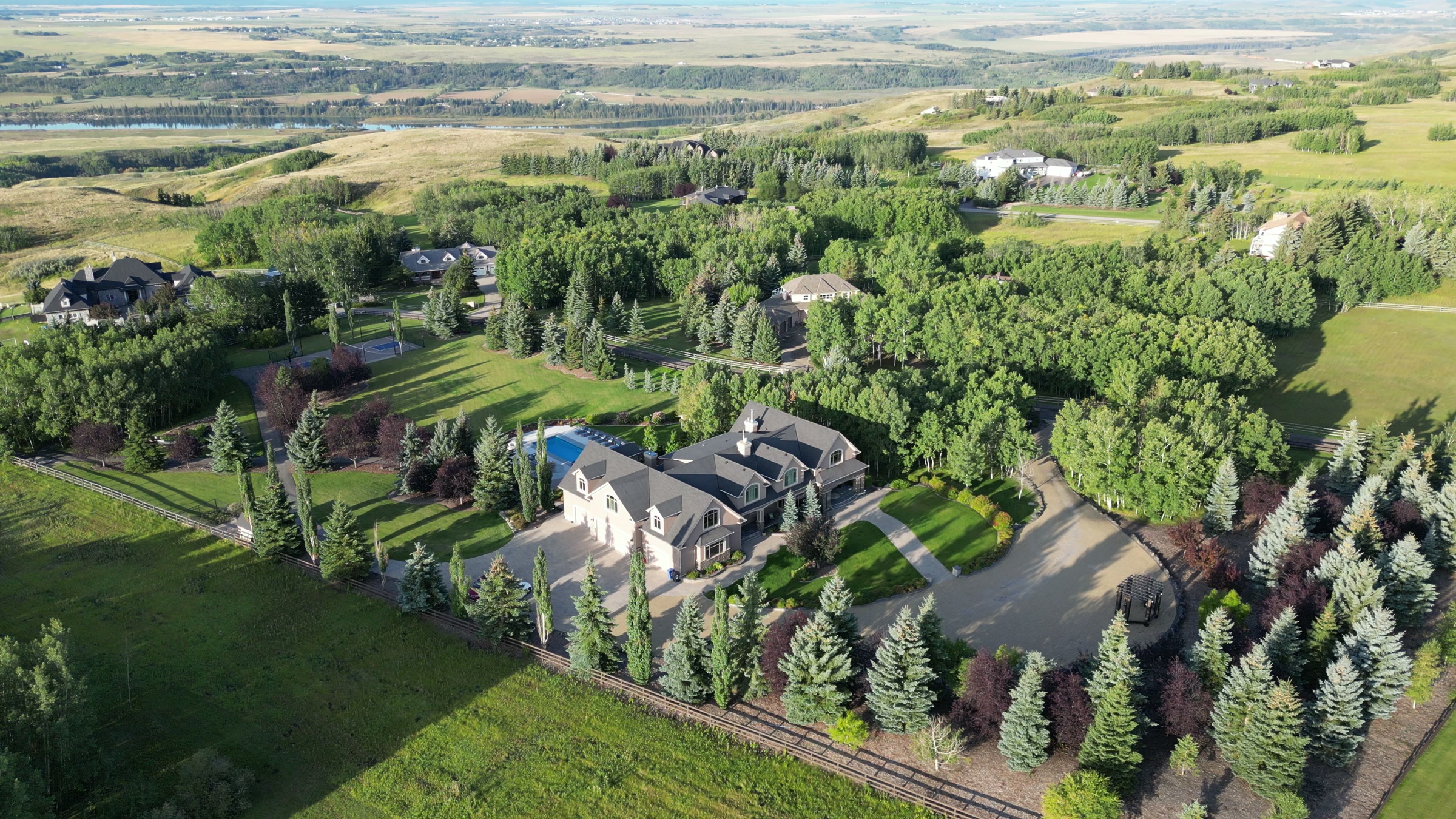
Film, photography and aerial cinematography for the homes, businesses and places that define Airdrie Downtown. Flat prairie townsite ground on a straight street grid, with the green line of Nose Creek Regional Park along its edge and level prairie in every other direction.
Does Atom2Adam work in Airdrie Downtown?
Yes. Atom2Adam makes film, photography and aerial cinematography in Airdrie Downtown, Alberta — for homes, businesses and brands. For aerial work the airspace is Mixed — control zone edge and local aerodrome. Aerial work here flies under an Advanced RPAS certificate, and the airspace authorisation is filed before any shoot date is confirmed. Typical mobilisation from the Calgary studio is 30 minutes.
Airdrie Downtown at a glance
| Studio | Calgary, Alberta |
|---|---|
| Drive from the studio | 30 minutes |
| Airspace | Mixed — control zone edge and local aerodrome |
| Nearest aerodrome | Airdrie aerodrome |
| Aerial authorisation | Yes — filed before the date is confirmed |
| Aerial status | Flown under airspace authorisation |
| Certification | Transport Canada RPAS — Advanced Operations |
| Response | We reply within one business day |
| Airspace record derived | 2026-09-01 |
Working in Airdrie Downtown.
From the air, downtown Airdrie still reads as the original townsite — Main Street and Edmonton Trail carry the old north–south alignment through a compact grid that the city's curving newer streets were built around. For a storefront or commercial listing here, that grid is the story — parking, access, and how a customer actually reaches the door — and none of it fits into a ground-level frame.
A mid-altitude oblique down Main Street holds the building, its access and the surrounding block in one readable frame, delivered on the turnaround agreed at booking.
Light. Flat ground and a low skyline keep both ends of the day usable; low spring and autumn sun rakes across the grid and gives the old storefront blocks their strongest definition. Summer evenings run long.
Terrain. Flat prairie townsite ground on a straight street grid, with the green line of Nose Creek Regional Park along its edge and level prairie in every other direction.
Wind. Open chinook-belt prairie. Airdrie has no terrain shelter, and downtown's low buildings do little to break a west wind that arrives at full strength.
Airspace. Airdrie Downtown shares its airspace corridor with Airdrie, about 0 km away, and flights through it are planned as controlled airspace. An Advanced RPAS certificate covers the work, with NAV CANADA RPAS authorisation obtained wherever the specific site requires it. The specific site and altitude are confirmed against NAV Drone before every flight.
On the ground. City of Airdrie park and pathway rules govern takeoff and landing on municipal land, including Nose Creek Regional Park; launches stage from private property with the owner's consent. About 30 minutes north of the Calgary base. Same-day scheduling is realistic once the airspace authorisation for the address is in hand.
What we make for Airdrie Downtown.
Every subject is approached the same way — creative direction, film, photography, aerial and post-production, scoped and quoted before anything is booked.
Airdrie Downtown and what surrounds it.
- Film and photography in Luxstone2 km · Mixed — control zone edge and local aerodrome
- Film and photography in Kings Heights3 km · Mixed — control zone edge and local aerodrome
- Film and photography in Sagewood1 km · Mixed — control zone edge and local aerodrome
- Film and photography in Airdrie0 km · Mixed — control zone edge and local aerodrome
- Film and photography in Bayside3 km · Mixed — control zone edge and local aerodrome
How an Airdrie Downtown shoot runs.
- 01Brief and scope. Airdrie Downtown lends itself to cafés, restaurants and retail and luxury homes; the shot list follows the subject. Mobilisation is stated separately from the fee.
- 02Airspace, where the brief includes aerial work. Airdrie Downtown sits under Airdrie aerodrome, 6 km away. Authorisation is filed with NAV CANADA and the date is confirmed once it is in hand.
- 03Light and weather. Open chinook-belt prairie. Airdrie has no terrain shelter, and downtown's low buildings do little to break a west wind that arrives at full strength. Flat ground and a low skyline keep both ends of the day usable; low spring and autumn sun rakes across the grid and gives the old storefront blocks their strongest definition. Summer evenings run long.
- 04Shoot day. About 30 minutes from the Calgary studio. Launch from the subject property with the owner's permission; city of Airdrie park and pathway rules govern takeoff and landing on municipal land, including Nose Creek Regional Park; launches stage from private property with the owner's consent.
- 05Post-production and delivery. Edited, graded and finished for every format it will live in, delivered digitally — which is how owners of Airdrie Downtown property who live elsewhere can be served.
Airdrie Downtown questions, answered.
Can a drone be flown legally in downtown Airdrie?
Yes, with the right paperwork. Downtown sits in Airdrie's controlled-airspace corridor, about 6 km from the Airdrie aerodrome, so work here runs under an Advanced RPAS certificate with a NAV CANADA authorisation obtained wherever the site requires one. The exact site and altitude are confirmed against NAV Drone before every flight.
What does aerial photography add for a Main Street business?
Context. A storefront photo shows a façade; an aerial frame shows how the block works — where customers park, how Main Street connects to the rest of the city, and how close the property sits to a draw like the Airdrie Farmers Market. For commercial and leasing material, that context is the argument.
Airdrie Downtown is 2 km from Luxstone.
Every quote starts at the Calgary studio, which is why identical subjects in Airdrie Downtown and Luxstone — 2 km apart — price differently.
Nearby
Airspace record derived from the published airspace geometry on . Rules change — the exact site is confirmed against NAV Drone before every flight.