Ravenswood, Alberta
Creative production in Ravenswood.
Film, photography and aerial cinematography for the homes, businesses and places that define Ravenswood. Prairie-flat new-build ground on Airdrie's southeast corner, its crescents and closes laid onto a level plane with open farmland resuming immediately beyond the last street.
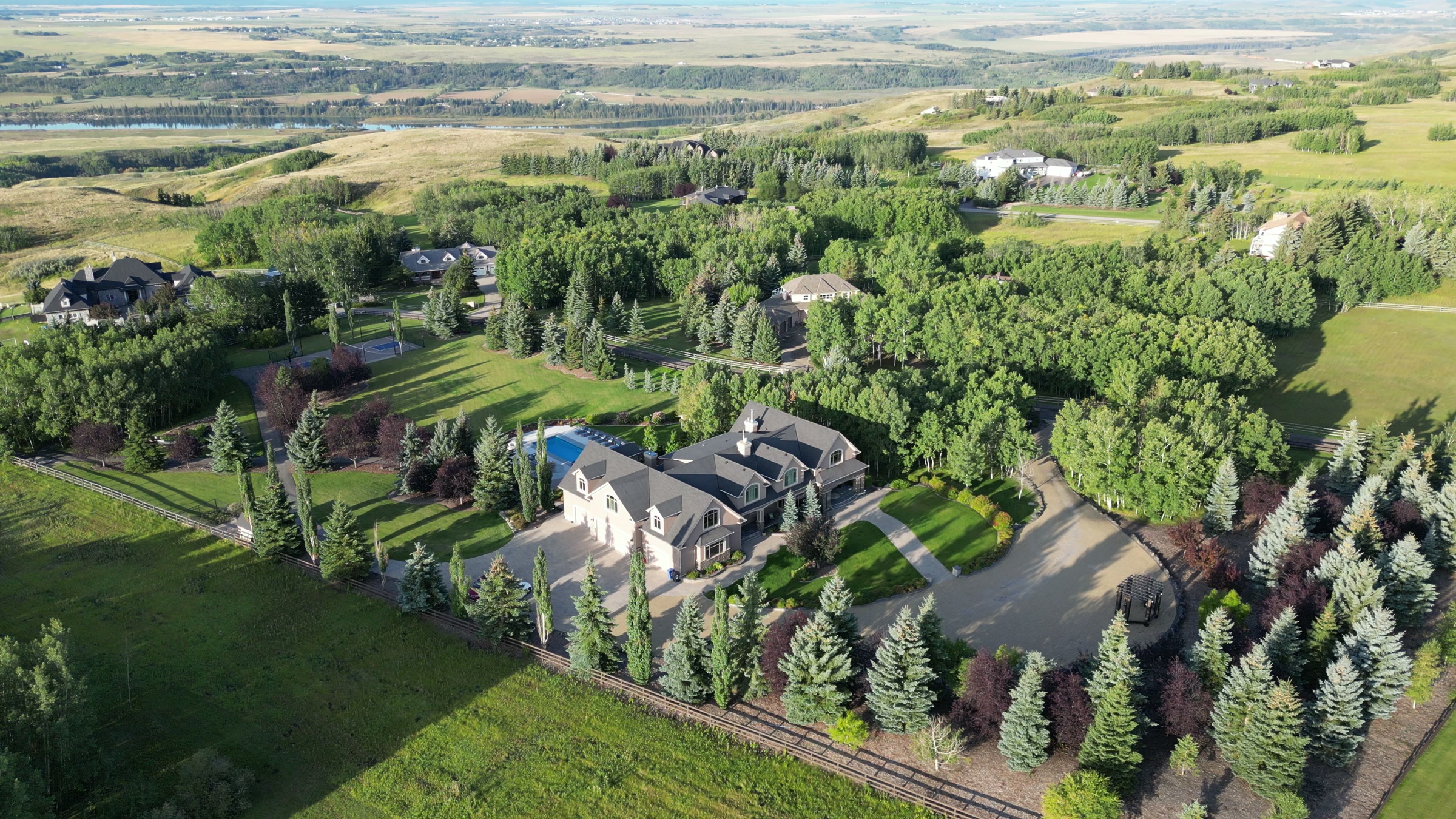
Does Atom2Adam work in Ravenswood?
Yes. Atom2Adam makes film, photography and aerial cinematography in Ravenswood, Alberta — for homes, businesses and brands. For aerial work the airspace is Mixed — control zone edge and local aerodrome. Aerial work here flies under an Advanced RPAS certificate, and the airspace authorisation is filed before any shoot date is confirmed. From the Calgary studio, mobilisation is typically 30 minutes.
Ravenswood at a glance
| Studio | Calgary, Alberta |
|---|---|
| Drive from the studio | 30 minutes |
| Airspace | Mixed — control zone edge and local aerodrome |
| Nearest aerodrome | Airdrie aerodrome |
| Aerial authorisation | Yes — filed before the date is confirmed |
| Aerial status | Flown under airspace authorisation |
| Certification | Transport Canada RPAS — Advanced Operations |
| Response | We reply within one business day |
| Airspace record derived | 2026-09-01 |
Working in Ravenswood.
There is almost no natural relief at Ravenswood — the tallest ground near the community is built, the raised embankment of the 40th Avenue QE2 interchange on its approach. Flat ground gives an aerial frame no depth for free; composition has to be earned through altitude and angle, or a wide shot collapses into a plan view that could be anywhere.
Each pass here is flown at a working altitude chosen for a reason — low obliques to give rooflines shadow and depth, a higher hold when the point is the street pattern itself — delivered on the turnaround agreed at booking.
Light. Low-angle light does the work here — spring and autumn evenings stretch shadows across the rooflines and give the flat plane its depth. Overcast midday is the weakest condition the community offers; fresh snow is one of the strongest.
Terrain. Prairie-flat new-build ground on Airdrie's southeast corner, its crescents and closes laid onto a level plane with open farmland resuming immediately beyond the last street.
Wind. Open chinook-belt prairie with nothing upwind of it; Ravenswood takes wind exactly as the forecast delivers it, and a marginal forecast means a marginal flight window.
Airspace. Ravenswood shares its airspace corridor with Airdrie, about 3 km away, and flights through it are planned as controlled airspace. An Advanced RPAS certificate covers the work, with NAV CANADA RPAS authorisation obtained wherever the specific site requires it. Every flight is preceded by a NAV Drone check of the specific site and altitude.
On the ground. City of Airdrie rules apply to takeoff and landing on parks, playgrounds and other municipal land in Ravenswood; the default is to stage the launch from the client's own property with consent. About 30 minutes from the Calgary base, with the community sitting at the 40th Avenue QE2 interchange — often the first or last stop on a multi-site Airdrie run.
What we make for Ravenswood.
Every subject is approached the same way — creative direction, film, photography, aerial and post-production, scoped and quoted before anything is booked.
Ravenswood and what surrounds it.
- Film and photography in Kings Heights1 km · Mixed — control zone edge and local aerodrome
- Film and photography in Airdrie Downtown3 km · Mixed — control zone edge and local aerodrome
- Film and photography in Balzac8 km · Class C control zone (CYYC)
- Film and photography in Airdrie3 km · Mixed — control zone edge and local aerodrome
- Film and photography in Bayside3 km · Mixed — control zone edge and local aerodrome
How a Ravenswood shoot runs.
- 01Brief and scope. Ravenswood lends itself to new communities and show homes and luxury homes; the shot list follows the subject. Mobilisation is stated separately from the fee.
- 02Airspace, where the brief includes aerial work. Ravenswood sits under Airdrie aerodrome, 4 km away. Authorisation is filed with NAV CANADA and the date is confirmed once it is in hand.
- 03Light and weather. Open chinook-belt prairie with nothing upwind of it; Ravenswood takes wind exactly as the forecast delivers it, and a marginal forecast means a marginal flight window. Low-angle light does the work here — spring and autumn evenings stretch shadows across the rooflines and give the flat plane its depth. Overcast midday is the weakest condition the community offers; fresh snow is one of the strongest.
- 04Shoot day. About 30 minutes from the Calgary studio. Launch from the subject property with the owner's permission; city of Airdrie rules apply to takeoff and landing on parks, playgrounds and other municipal land in Ravenswood; the default is to stage the launch from the client's own property with consent.
- 05Post-production and delivery. Edited, graded and finished for every format it will live in, delivered digitally — which is how owners of Ravenswood property who live elsewhere can be served.
Ravenswood questions, answered.
Do drone flights over Ravenswood need to be authorised?
Wherever the site requires it, yes. Ravenswood lies in the corridor planned as controlled airspace around Airdrie, about 4 km from the Airdrie aerodrome. Flights run under an Advanced RPAS certificate with NAV CANADA authorisation obtained as needed, and the specific site and altitude are checked against NAV Drone before every flight.
What does an aerial frame show a Ravenswood buyer that street photos cannot?
Position. From altitude, one frame places a listing against the things that decide a commute and a weekend — the 40th Avenue QE2 interchange at the community's approach, Kingsview Market nearby, and the open prairie edge beyond the last street. Ground photography cannot hold any of that in one shot.
Ravenswood is 1 km from Kings Heights.
Because mobilisation is quoted from the Calgary studio, Ravenswood and Kings Heights, 1 km away, carry different quotes for an identical subject.
Nearby
Airspace record derived from the published airspace geometry on . Rules change — the exact site is confirmed against NAV Drone before every flight.