Saskatoon, Saskatchewan
Saskatoon, on film and from the air.
Atom2Adam is a global creative consultancy and media agency operating from Calgary, available for commissions in Saskatoon: creative direction, film, photography, aerial cinematography and post-production for the hotels, head offices and landmarks of the South Saskatchewan River valley.
From the work

No published project is placed in Saskatoon; this film comes from Calgary, the studio's own river city of bridges and towers — the closest analogue it has for the South Saskatchewan valley.
Does Atom2Adam work in Saskatoon?
Yes. Atom2Adam, a global consultancy and media agency that operates from Calgary, makes film, photography and aerial cinematography in Saskatoon, Saskatchewan — for homes, businesses and brands. For aerial work the airspace is Class C control zone (CYXE). Flights are conducted under an Advanced RPAS certificate with airspace authorisation filed before the shoot is confirmed. Typical mobilisation from the Calgary base is 6.2 hours.
Saskatoon's identity is a riverbank, not a skyline.
Saskatoon is built on both banks of the South Saskatchewan River, and the City counts ten structures crossing it inside city limits. The University Bridge's descending arches date from 1916; the Broadway Bridge climbs a 4% grade to the higher east bank; the Bessborough, opened in 1935 for the Canadian National Railway, stands at the end of them. In Saskatoon the composition that says where you are is the valley, with the city along its edges.
Saskatoon's commissioning buyers are head offices, institutions and hospitality. Nutrien and Cameco both run their headquarters from Saskatoon, Federated Co-operatives has had its Home Office downtown since 1970, and the University of Saskatchewan's Collegiate Gothic stone campus faces the core across the river. Remai Modern, designed by Bruce Kuwabara of KPMB, wraps itself in a copper-mesh screen that takes its cue from the Bessborough's copper roof.
Saskatoon's light runs long in summer and short in winter. Because Saskatchewan keeps Central Standard Time all year, civil twilight on the June solstice lasts until 22:21; in December the sun rises at 09:13 and sets at 16:57. American white pelicans gather by the Weir to fish from April through October, and Wanuskewin's Plains bison have grazed above opimihāw Creek since December 2019.
The work, in the order Saskatoon needs it.
- 01
Aerial
Aerial cinematography over the South Saskatchewan valley, flown under NAV CANADA authorisation in the CYXE Class C zone, with a City of Saskatoon drone permit wherever the frame crosses City land.
- 02
Film
Films for the river hotels and the head offices downtown, shot to one brief and cut for the website, social channels and the screen in the boardroom.
- 03
Photography
Architectural and interior photography for Saskatoon's landmarks and new builds, from the university's Collegiate Gothic stone to Remai Modern's copper mesh, timed to where the sun sits on the river.
- 04
Consultancy & Creative Direction
Creative direction that turns ten river crossings, a château hotel and a prairie sky into one shot list, agreed with the client by call before anyone drives the 620 km east.
- 05
Post-Production
Editing, colour and sound that hold Saskatoon's long summer twilight and its white winters in one grade, delivered digitally in every format a campaign needs.
Saskatoon at a glance
| Agency | Global creative consultancy & media agency |
|---|---|
| Operating base | Calgary, Alberta, Canada |
| Drive from the base | 6.2 hours |
| Airspace | Class C control zone (CYXE) |
| Nearest aerodrome | Saskatoon John G. Diefenbaker International (CYXE) |
| Aerial authorisation | Yes — filed before the date is confirmed |
| Aerial status | Flown under airspace authorisation |
| Certification | Transport Canada RPAS — Advanced Operations |
| Response | We reply within one business day |
| Airspace record derived | 2026-10-06 |
Working in Saskatoon.
Almost all of Saskatoon lies inside the CYXE Class C control zone, and the City separately bans flying a drone over any land it owns, leases or controls unless it issues a permit (Bylaw No. 5729). A shot of the river and its bridges therefore needs two approvals before it can be booked — NAV CANADA for the airspace and the City for the ground — and the City says review can take up to two weeks.
Atom2Adam files the NAV Drone request and the City's one-time Limited drone permit together from the agreed shot list, and fixes the shoot date only once both are in hand.
Light. Saskatchewan keeps Central Standard Time all year, so on the June solstice the sun sets at 21:31 and civil twilight lasts until 22:21; in December it rises at 09:13 and sets at 16:57. ECCC records about 2,268 hours of bright sunshine a year, July's 3.9 thunderstorm days are the year's most, and snow cover is usual from December to March.
Terrain. Saskatoon is built on both banks of the South Saskatchewan River, and the City counts ten structures crossing it inside city limits. At the Broadway Bridge the east bank stands more than 60 ft above the west, which is why the bridge climbs a 4% grade. Native fescue survives inside the city at the 34-acre Saskatoon Natural Grasslands, and the Northeast Swale, an ancient river channel, runs 26 km beside the river.
Wind. ECCC's 1991–2020 normals give Saskatoon a mean wind of 15.3 km/h, most often from the north-west across the year. April and May are the windiest months at 17.2 km/h, so spring aerial days are booked against the forecast rather than the calendar.
Airspace. Saskatoon sits inside the Class C control zone of Saskatoon John G. Diefenbaker International (CYXE), published in NAV CANADA's Designated Airspace Handbook as 7 NM around the airport, cut back to 5 NM in a narrow northern sector, from the surface to 5,000 ft. City Hall is about 5 km from the airport, so aerial work over the core flies under an Advanced RPAS certificate with NAV CANADA authorisation in hand before a date is confirmed. Restricted area CYR302, 0.5 NM around the Regional Psychiatric Centre in the north-east, is closed without the warden's authorisation. The exact site is confirmed against NAV Drone before every flight.
On the ground. The City of Saskatoon's Bylaw No. 5729 bans flying a remotely piloted aircraft over City-owned, leased or controlled land except as permitted; the City issues an annual Commercial permit or a one-time Limited permit, review takes up to two weeks, and $2 million aircraft liability is required. Otherwise, launches stage from private property with the owner's consent. About 620 km from the Calgary base — roughly six hours on Hwy 1, Alberta Hwy 9 and Saskatchewan Hwy 7 — so a Saskatoon commission is booked with a travel day either side, and the drone kit and its batteries go by road. WestJet flies Calgary to Saskatoon nonstop for the rest of the team. Travel is billed at cost and quoted with the scope.
What gets commissioned in Saskatoon.
Hotels on the riverbank
The Bessborough's château silhouette, The James's river-view balconies and the Alt Hotel on the riverbank all sell the same thing: the valley outside. Film and stills that put the room and the river in one sequence, shot in the late summer light.
Head-office and corporate film
Nutrien, Cameco and Federated Co-operatives run their headquarters from Saskatoon. Corporate film, leadership portraits and site footage, directed to a single brief and finished for every channel a company publishes on.
Campus, research and civic buildings
The University of Saskatchewan's stone campus around The Bowl, the Canadian Light Source at 44 Innovation Boulevard and Remai Modern at River Landing are institutions whose buildings are part of the message they send.
Events with the valley as the venue
Remai Modern's rooftop terrace, Wanuskewin's ceremonies above opimihāw Creek and the Bessborough's five acres of gardens host events where the film becomes the record. Aerial coverage of an advertised public event needs a Transport Canada SFOC.
Frames from the work
None of these frames comes from a project placed in Saskatoon; each caption says where its frame was made.
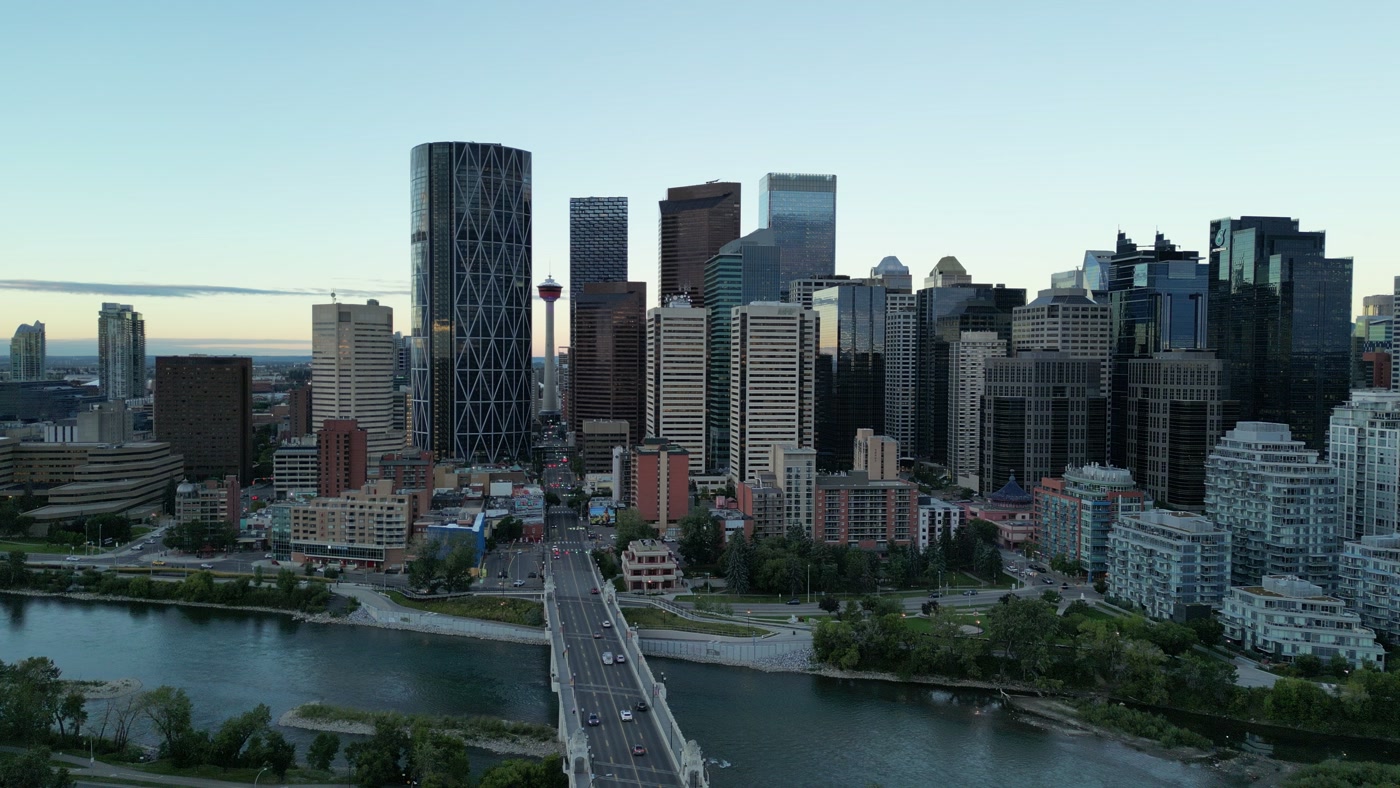
A city's tower at the end of its main street, seen from above the river. Made in Calgary, Alberta.Downtown Calgary 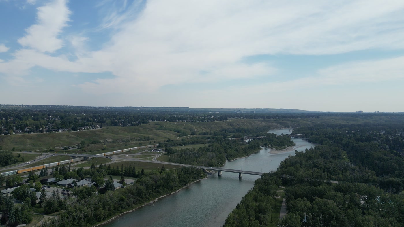
A river under a road bridge, a freight train on the bank and truss rail spans downstream. Made in Bowness, Calgary, Alberta.Bowness 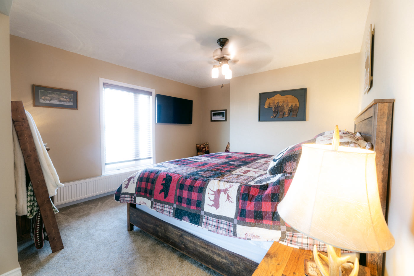
A lodge suite's king bed under a plaid quilt, a lamp lit in front of it. Made in Bragg Creek, Alberta.Shire Ridge Lodge


What we make for Saskatoon.
- Hospitality and tourism
- Cafés, restaurants and shops
- Brand and campaign films
- Places and landmarks
- Luxury homes
Every subject is approached the same way — creative direction, film, photography, aerial and post-production, scoped and quoted before anything is booked.
Saskatoon and what surrounds it.
- Film and photography in Prince Albert134 km · Class E control zone (CYPA)
- Film and photography in Regina235 km · Class D control zone (CYQR)
- Film and photography in Yorkton307 km · Class E control zone (CYQV)
- Film and photography in Maple Creek316 km · Class G uncontrolled
- Film and photography in Medicine Hat364 km · Class E control zone (CYXH) over nearly the whole city
Named in Saskatoon
South Saskatchewan RiverMeewasin TrailBroadway BridgeUniversity BridgeTraffic BridgeThe WeirDelta BessboroughRemai Modern at River LandingBroadway AvenueRiversdaleUniversity of SaskatchewanWanuskewin Heritage Park
How a Saskatoon shoot runs.
- 01Brief and scope. Saskatoon lends itself to hospitality and tourism and cafés, restaurants and shops; the shot list follows the subject. Mobilisation is stated separately from the fee.
- 02Airspace, where the brief includes aerial work. Saskatoon sits under Saskatoon John G. Diefenbaker International (CYXE), 5 km away. Authorisation is filed with NAV CANADA and the date is confirmed once it is in hand.
- 03Light and weather. ECCC's 1991–2020 normals give Saskatoon a mean wind of 15.3 km/h, most often from the north-west across the year. April and May are the windiest months at 17.2 km/h, so spring aerial days are booked against the forecast rather than the calendar. Saskatchewan keeps Central Standard Time all year, so on the June solstice the sun sets at 21:31 and civil twilight lasts until 22:21; in December it rises at 09:13 and sets at 16:57. ECCC records about 2,268 hours of bright sunshine a year, July's 3.9 thunderstorm days are the year's most, and snow cover is usual from December to March.
- 04Shoot day. About 6.2 hours from the Calgary base. Launch from the subject property with the owner's permission; the City of Saskatoon's Bylaw No. 5729 bans flying a remotely piloted aircraft over City-owned, leased or controlled land except as permitted; the City issues an annual Commercial permit or a one-time Limited permit, review takes up to two weeks, and $2 million aircraft liability is required. Otherwise, launches stage from private property with the owner's consent.
- 05Post-production and delivery. Edited, graded and finished for every format and market it will live in, delivered digitally — which is how owners of Saskatoon property who live elsewhere, anywhere in the world, are served by a global agency.
Saskatoon questions, answered.
Can a drone be flown over downtown Saskatoon?
Yes, with two approvals. Almost all of Saskatoon lies inside the CYXE Class C control zone, so a flight needs an Advanced RPAS certificate and NAV CANADA authorisation, and over City-owned, leased or controlled land it also needs a City drone permit under Bylaw No. 5729. Restricted area CYR302, around the Regional Psychiatric Centre, additionally needs the warden's authorisation.
How far ahead should a Saskatoon shoot with aerial work be booked?
Allow at least two weeks. The City says review of a complete drone permit application may take up to two weeks, and the NAV CANADA authorisation for the CYXE zone is filed at the same time. Ground-only film and photography can move faster, subject to the permissions of each location. Nothing is booked until the scope is agreed.
Where are the classic views of Saskatoon's bridges?
Discover Saskatoon points to the Broadway Bridge from Cosmopolitan Park, the Senator Sid Buckwold and Traffic bridges from River Landing, and the Gordie Howe Bridge from the South West Trail. The Bessborough is commonly framed through an arch of the Broadway Bridge — a view from the ground that needs no airspace approval at all.
Our head office is outside Saskatchewan — does anyone need to be in Saskatoon for the shoot?
No. The brief, the creative direction and the approvals happen by call; Atom2Adam films and photographs in Saskatoon and delivers the finished, graded collection digitally for every channel. A local contact who can open doors on the day is all a head office elsewhere needs to arrange.
When is the best season to film in Saskatoon?
Late June to early September, for the longest light: on the June solstice civil twilight lasts until 22:21 because Saskatchewan keeps Central Standard Time all year. July has the most thunderstorm days in ECCC's normals, 3.9, and snow cover is usual from December to March — the window for a winter campaign rather than a summer one.
Saskatoon is 134 km from Prince Albert.
Mobilisation is quoted from the Calgary base, so a shoot in Saskatoon and one 134 km away in Prince Albert are priced differently even when the subject is identical.
Nearby
Airspace record derived from the published airspace geometry on . Rules change — the exact site is confirmed against NAV Drone before every flight.